Version History
Here you can find the changelog of Watch Duty: Wildfire Maps since it was posted on our website on 2021-09-04.
The latest version is 2024.3.21 and it was updated on soft112.com on 02 April, 2024.
See below the changes in each version:
version 2024.3.21
posted on 2024-03-26
Mar 26, 2024
Version 2024.3.21
Reporting Formatting Improvements
version 2024.3.5
posted on 2024-03-10
Mar 10, 2024
Version 2024.3.5
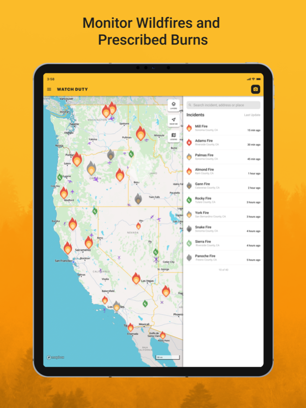
New satellite, street, and finally a topographic map in addition to a whole new faster interface!
This winter we’ve been busy making our wildfire maps even faster with improved performance. Not only that, our maps are easier to read with brighter roads and easier to read labels. We’ve also added more up-to-date satellite maps as well as topographic maps for better situational awareness.
You may also notice we’ve made interface enhancements for better usability and less clicks when navigating between incidents. You’ll no longer need to use a ‘back’ button to jump back to the main map just like Google and Apple Maps.
version 2024.2.13
posted on 2024-02-20
Feb 20, 2024
Version 2024.2.13
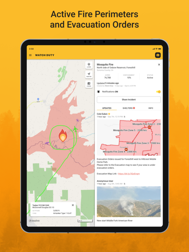
Improvements to fire mapping & prescribed burns
version 2024.1.24
posted on 2024-02-02
Feb 2, 2024
Version 2024.1.24
Improvements & Fixes
version 2024.1.16
posted on 2024-01-29
Jan 29, 2024
Version 2024.1.16
Improvements & Fixes
version 2024.1.13
posted on 2024-01-14
Jan 14, 2024
Version 2024.1.13
Improvements & Fixes
version 2023.12.13
posted on 2023-12-18
Dec 18, 2023
Version 2023.12.13
Improvements & Fixes
version 2023.11.30
posted on 2023-12-07
Dec 7, 2023
Version 2023.11.30
Improvements & Fixes
version 2023.11.10
posted on 2023-11-14
Nov 14, 2023
Version 2023.11.10
Improvements & Fixes
version 2023.11.5
posted on 2023-11-06
Nov 6, 2023
Version 2023.11.5
Bugfixes & Improvements
version 2023.11.01
posted on 2023-11-04
Nov 4, 2023
Version 2023.11.01
Bugfixes and Improvements
version 2023.10.23
posted on 2023-10-24
Oct 24, 2023
Version 2023.10.23
Bug fixes and Improvements
version 2023.10.11
posted on 2023-10-17
Oct 17, 2023
Version 2023.10.11
Bugfixes and Improvements
version 2023.9.20
posted on 2023-09-25
Sep 25, 2023
Version 2023.9.20
Supporting 4 new languages: Spanish, Filipino, Chinese (Mandarin), and Vietnamese.
version 2023.9.19
posted on 2023-09-21
Sep 21, 2023
Version 2023.9.19
Bugfixes & Improvements
version 2023.8.30
posted on 2023-09-05
Sep 5, 2023
Version 2023.8.30
Bug fixes and improvements
version 2023.8.22
posted on 2023-08-25
Aug 25, 2023
Version 2023.8.22
Bugfixes and improvements.
version 2023.8.16
posted on 2023-08-16
Aug 16, 2023
Version 2023.8.16
Bugfixes & Improvements
version 2023.7.24
posted on 2023-08-02
Aug 2, 2023
Version 2023.7.24
Improvements to the wildfire map and other various performance fixes
version 2023.7.18
posted on 2023-07-19
Jul 19, 2023
Version 2023.7.18
Aircraft and flight tracker user interface improvements for the wildfire map.
version 2023.7.14
posted on 2023-07-17
Jul 17, 2023
Version 2023.7.14
We have been making more performance improvements to our wildfire maps as well as our nearly released tanker tracker.
New tanker tracker features:
- Airplanes and helicopters now have a drop shadow which helps denote altitude and makes water drops easier to spot
- Helicopter rotors no longer spin while the helicopter is on the ground
version 2023.7.7
posted on 2023-07-07
Jul 7, 2023
Version 2023.7.7
Introducing our membership program, a new way to support Watch Duty. Your support lets us build more features, expand to more regions, and continue to provide the best real-time wildfire information for everyone.
Membership dues are $25/year and include the following premium features:
- Air tanker tracker. A real-time tracker of all airborne firefighting flights.
- Saved Locations. Add your home, work, school, or other locations.
- Unlimited Counties. Subscribe to an unlimited number of counties in covered areas.
Dues will ensure the core alerting service of Watch Duty will always be ad-free and available to all.
version 2023.6.25
posted on 2023-06-26
Jun 26, 2023
Version 2023.6.25
Stability improvements
version 2023.6.12
posted on 2023-06-13
Jun 13, 2023
Version 2023.6.12
Improvements + Fixes
version 2023.5.24
posted on 2023-05-25
May 25, 2023
Version 2023.5.24
Improvements
version 2023.5.10
posted on 2023-05-18
May 18, 2023
Version 2023.5.10
Fixes + Improvements
version 2023.5.9
posted on 2023-05-15
May 15, 2023
Version 2023.5.9
Reporter Profiles
version 2023.5.4
posted on 2023-05-04
May 4, 2023
Version 2023.5.4
Improvements
version 2023.4.9
posted on 2023-04-10
Apr 10, 2023
Version 2023.4.9
New map interface with legend & various performance improvements
version 2023.2.17
posted on 2023-02-21
Feb 21, 2023
Version 2023.2.17
Performance improvements
version 2022.8.12
posted on 2022-08-15
Aug 15, 2022 Version 2022.8.12
- Fires now are now labeled when you Zoom in
- Map is now vector based which not only runs faster but looks better
- Push Notification sound has been remastered and has a more piercing tone
version 2022.7.28
posted on 2022-07-29
Jul 29, 2022 Version 2022.7.28
Evacuation notices and information are clearly called out
Embeded videos from Youtube, Twitter, and Facebook
Larger incidents show on top of others on the map
Display app version in left menu for better support handling
version 2022.7.16
posted on 2022-07-18
Jul 18, 2022 Version 2022.7.16
- Map Legend & containment icon changes
- Reporters name is now on report detail page
- Reports now support line breaks
- Added more donation options above $9.99/mo
version 2022.4.7
posted on 2022-05-01
May 1, 2022 Version 2022.4.7
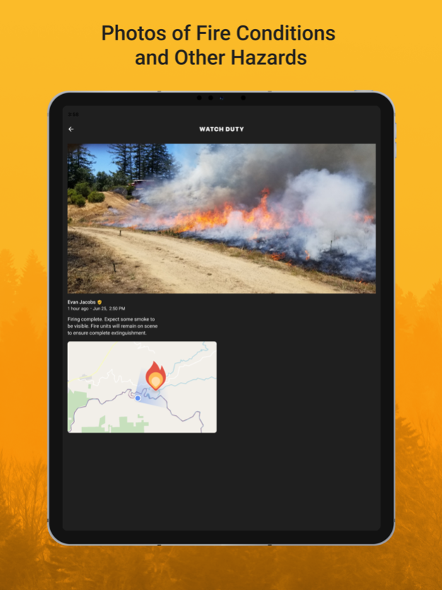
Citizens can now upload pictures of incidents without selecting an incident, thereby reporting anything they can see
version 2022.3.16
posted on 2022-04-07
Apr 7, 2022 Version 2022.3.16
- Lots of preparations and updates in preparation to serve all of California
- Pagination on reports for longer incidents
- Lots of performance improvements
- Report detail (photo view) gets a redesign
- Add more loading dialogs and error messages
- Fix incident page loading issues regarding following/subscribing to an incident
- Map tiles are cached for better performance
version 2021.11.3
posted on 2021-11-18
Nov 18, 2021 Version 2021.11.3
You can now subscribe to an individual incident as well as unsubscribe rather than getting all reports for a county
version 2021.10.17
posted on 2021-10-21
Oct 21, 2021 Version 2021.10.17
- Addressing issue where map puts users out in the Pacific Ocean
- Fixing lat/lng/az bugs on add report page
version 2021.9.30
posted on 2021-10-04
Oct 4, 2021 Version 2021.9.30
We're finally allowing citizens to create accounts and upload photos of active incidents to help other citizens and first responders spot disasters.
version 2021.9.15
posted on 2021-09-22
Sep 22, 2021 Version 2021.9.15
- Using proper image thumbnails on reports for faster page load times
- Ability for moderators to delete incidents
- Incident create page for moderators has a new skin and better error handling
version 2021.9.9
posted on 2021-09-12
Sep 12, 2021 Version 2021.9.9
- New map layers display Fire Perimeters, MODIS, and VIIRS satellites
- Map now remembers your zoom level and position for easier use
- Photos now contain lat/lng when taken from the camera
- Updating Add Report Interface
version 2021.8.24
posted on 2021-08-24
Aug 24, 2021 Version 2021.8.24
More tools for moderators to inform them of previous reports